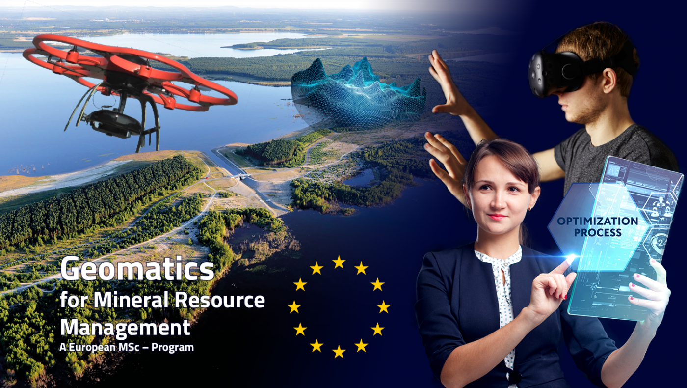
Geomatics programme aims to educate future leaders and innovators in Mineral Resource Management
The rising global demand for raw materials necessitates the extraction of mineral resources in harder-to-access areas of the geosphere. Simultaneously, the highest levels of safety and environmental and social regulations need to be fulfilled, as well as the optimisation of natural resource use though recovery maximisation. This requires engineers able to develop new innovative solutions, making the best use of cutting edge technology to acquire, manage and analyse geodata. The European Course on Geomatics for Mineral Resource Management aims to develop future leaders and innovators in this field.
The educational content focuses on three main pillars.
The first of these is Geo-Data Acquisition. Students will be educated in the principles of geodesy and mine surveying, and undergo training in the latest techniques and technologies such as remote sensing or terrestrial laser scanning. The second pillar involves the management of geo-data. Here, students learn about the concept and build-up of Geo-Information-Systems and obtain knowledge about how to effectively visualise geo-data for everyone. The last pillar is the analysis and modelling of geo-data. This includes the fields of spatial statistics, machine learning, resource modelling, reserve estimation and subsidence modelling.
The aim of this MSc course is to enable students to integrate these three pillars into innovative Geomonitoring concepts.
Students will be exposed to the latest research originating from several large European research projects. Interaction with several local industry partners will allow students to work on real projects, understand industry needs and develop their entrepreneurial skills. With a guided but flexibly designed exchange programme between partner universities, students will be exposed to different fields of expertise and cultural environments. Graduates are expected to be future leaders in the field of technology development and innovation, bringing modern geomatics concepts to marketable products for a secured future in the mineral resource industry.
The Geomatics for Mineral Resource Management MSc programme is set to last a total of four semesters and can be studied at one or multiple partner universities across Europe.
This includes Técnico Lisboa (Portugal), Delft University of Technology (Netherlands), Technische Universität Bergakademie Freiberg (Germany), Montanuniversität Leoben (Austria) and Wrocław University of Science and Technology (Poland). Depending on which university students elect to sign up for, different routes can be chosen. The first year is held at the university of enrolment, while the second year can either be studied at the same university or conducted at one of the partner universities, including the MSc thesis in the fourth semester. The successful completion of the MSc program will result in a joint degree or a double master’s degree.
Starting with the winter semester 2019/2020, Geomatics for Mineral Resource Management will be offered as an MSc course at the TU Bergakademie Freiberg.
Here students have the chance to choose between the two specialisations: “Geomatics for mineral resource management” and “Mine Surveying”. The latter is offered as part of a joint degree between the TU Bergakademie Freiberg and Montanuniversität Leoben. Joint- and double degrees as well as exchange programmes with other universities are currently under development and will be available in the upcoming year.
More information can be found at study-geomatics.eu.


